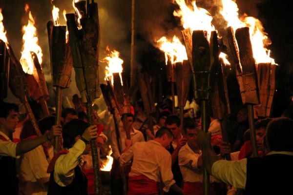
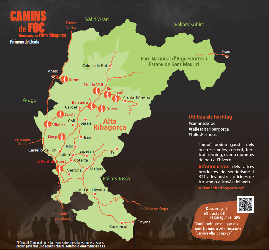
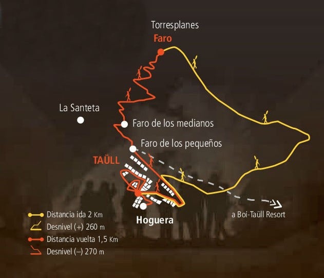
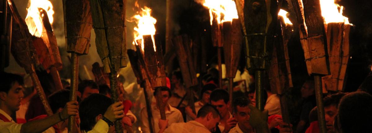
Path of fire, Taüll
- Departure: Taüll
- Arrival: Torresplanes

- Distance: 2 km
- Duration: 0h 15 m
- Incline: 260m
- Difficulty: Moderate
- Type of route Linear
- Suitable for MTB: No
- Best time of year: All year
* Difficulty obtained by the SENDIF method


* Difficulty obtained by the SENDIF method
Patronat Comarcal de Turisme de l'Alta Ribagorça | Av. Victoriano Muñoz, 48 | 25520 El Pont de Suert | Tel. 973 69 04 02 | pturisme@ccar.ddl.net